


Colorado Trail: Segment 4
Rolling Creek to Long Gulch Trailhead

Quick Hits
Location: North Fork Trailhead
Difficulty: Intermediate
Route Type: Point to Point (Backpacking)
Distance: 17.1 miles
Elevation
Start: 8,260 ft
Total Gain: 4,557 ft
Highest Point: 10,968 ft
Pacing: 9 hours 42 mins
Hiked: June

Notes
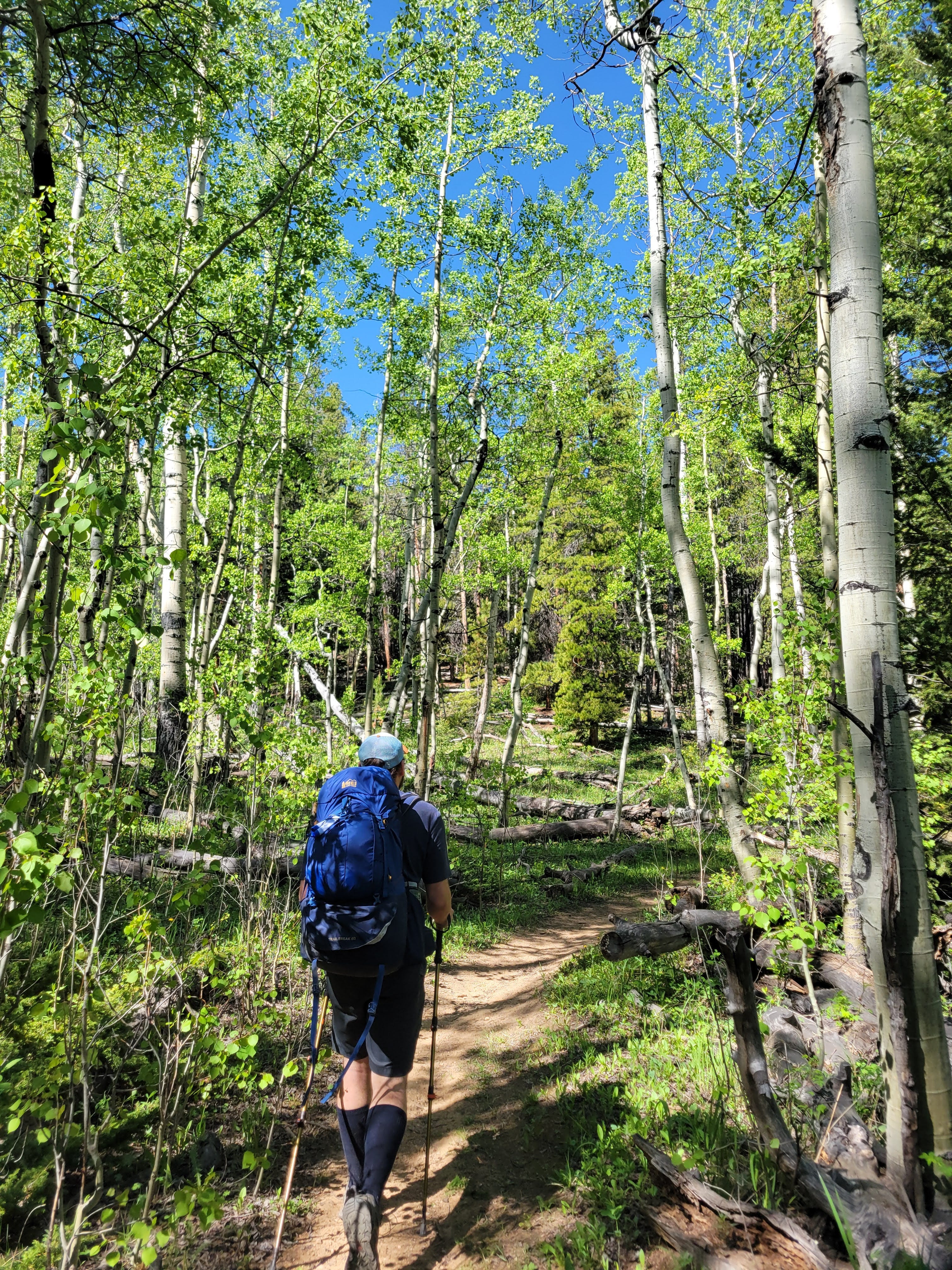
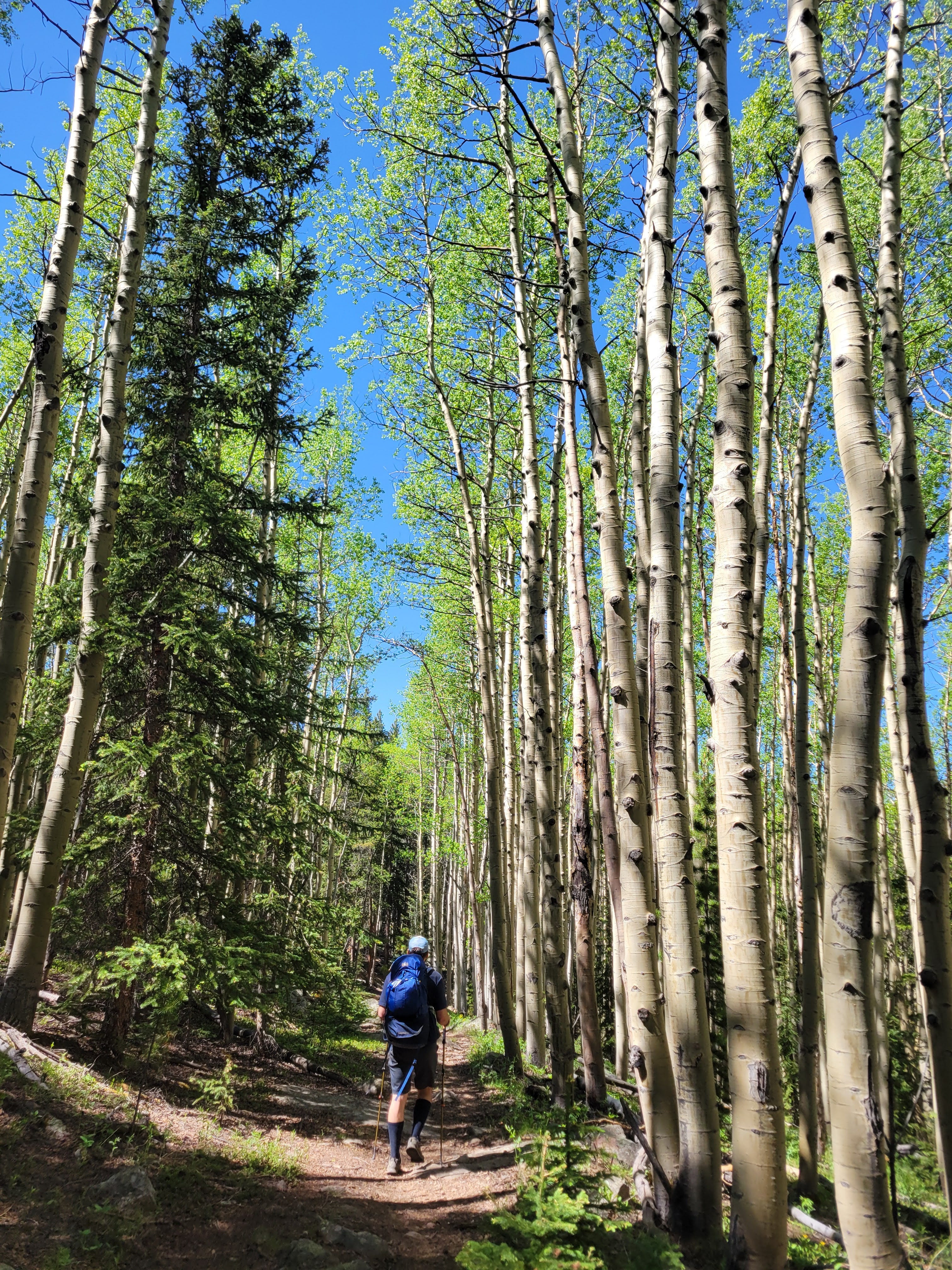
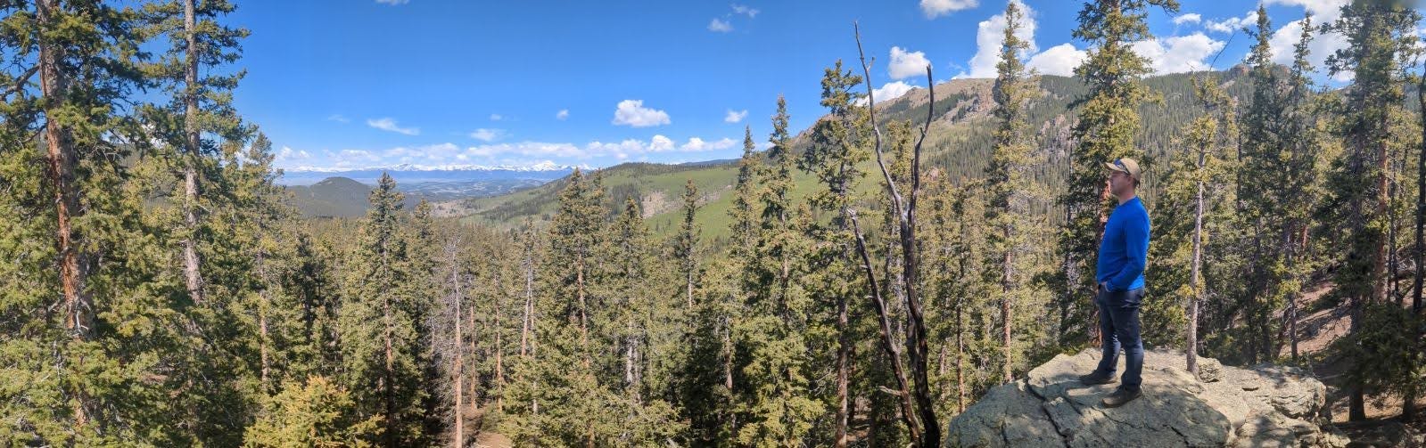
Segment 4 of the CT is my favorite hike so far. We started our day in a thick grove of Aspen trees, some of the biggest I’ve seen.
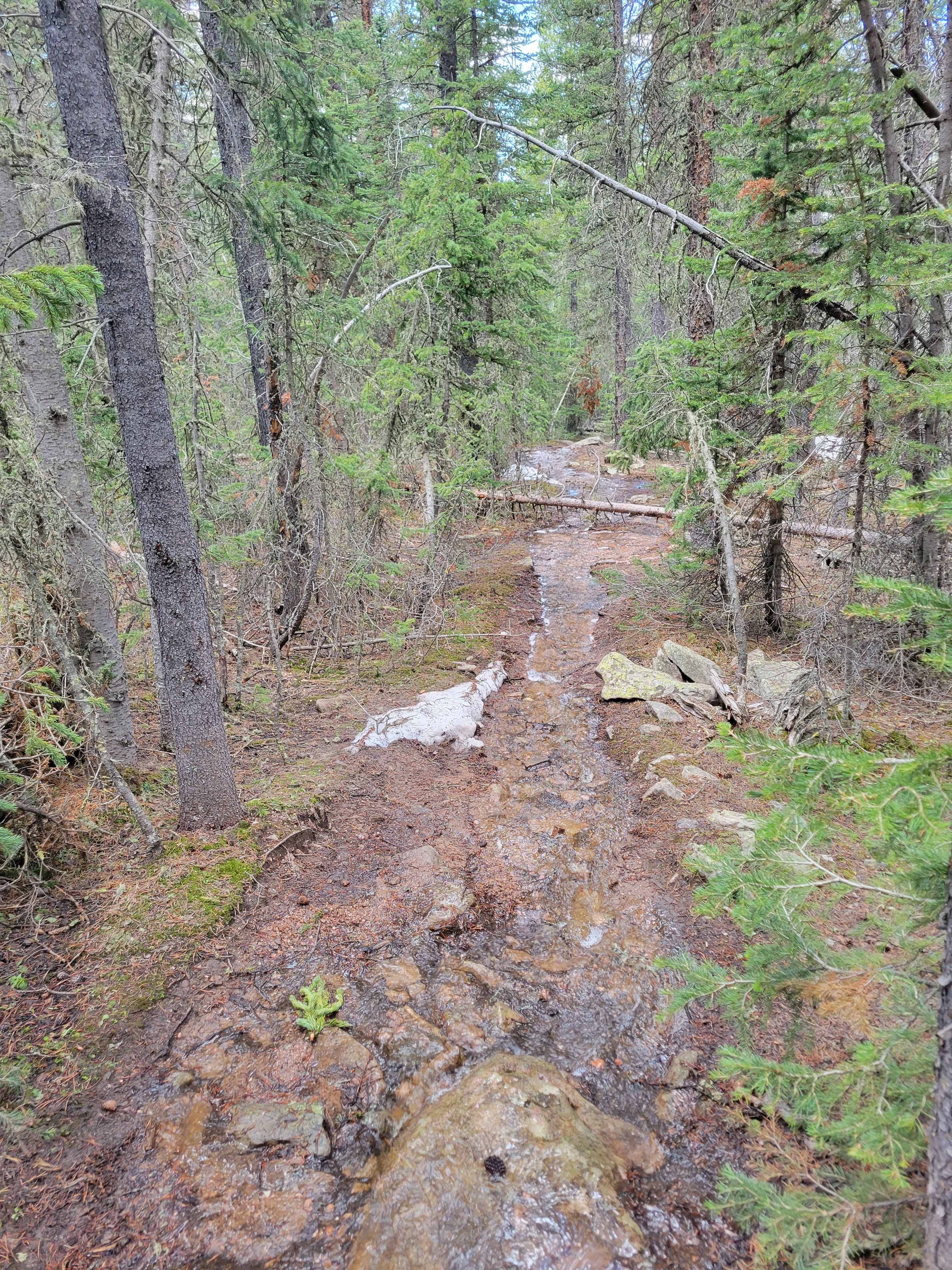
Once we climbed into the hills there were still pockets of snow at higher elevation.
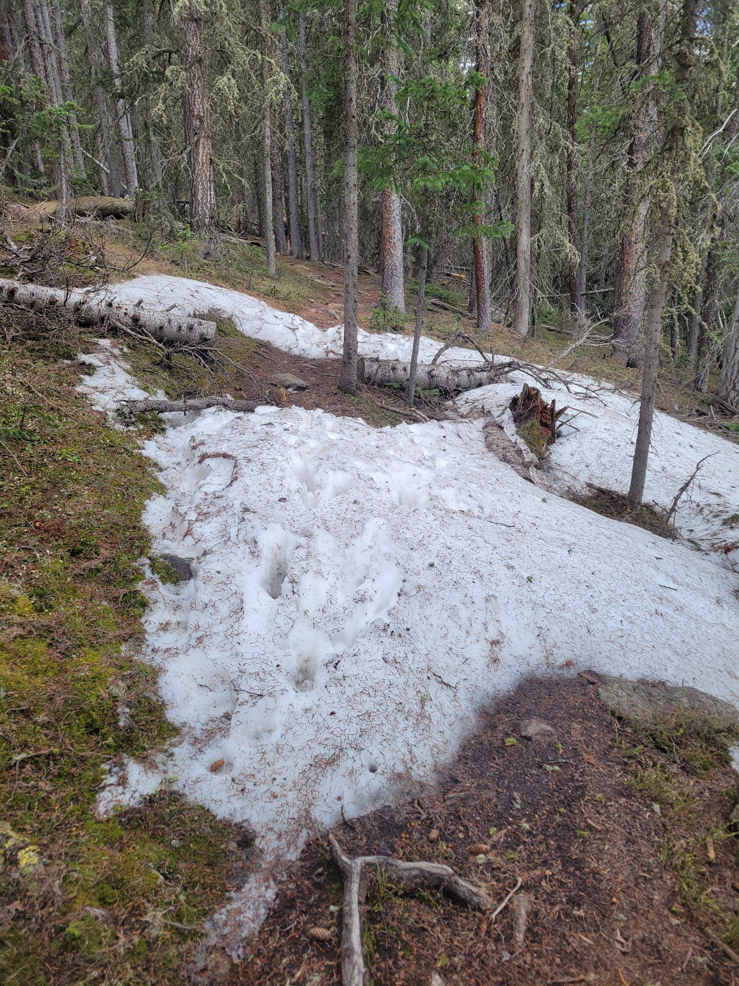
The lingering snow melt turned parts of the trail into a seasonal creek.
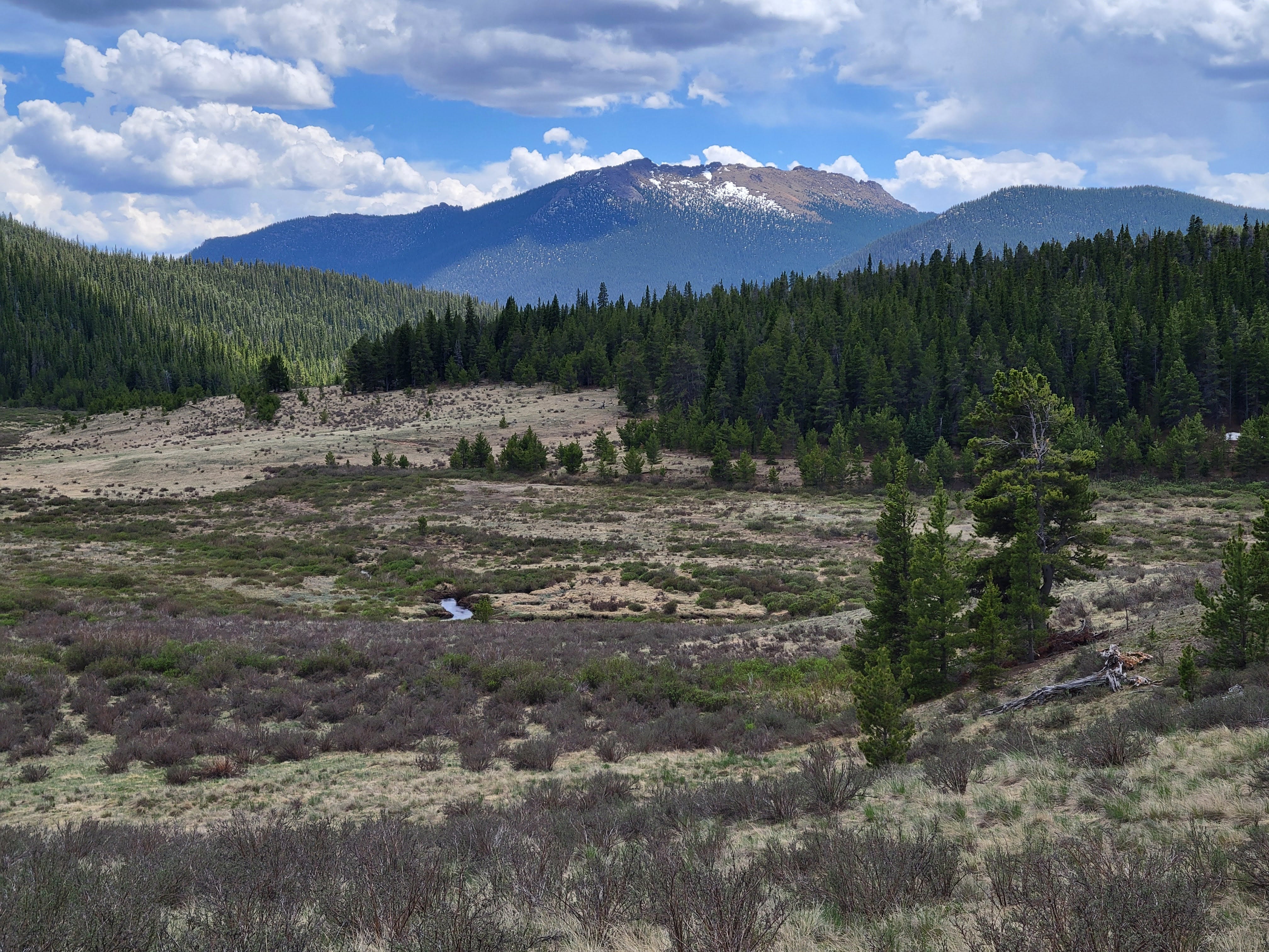
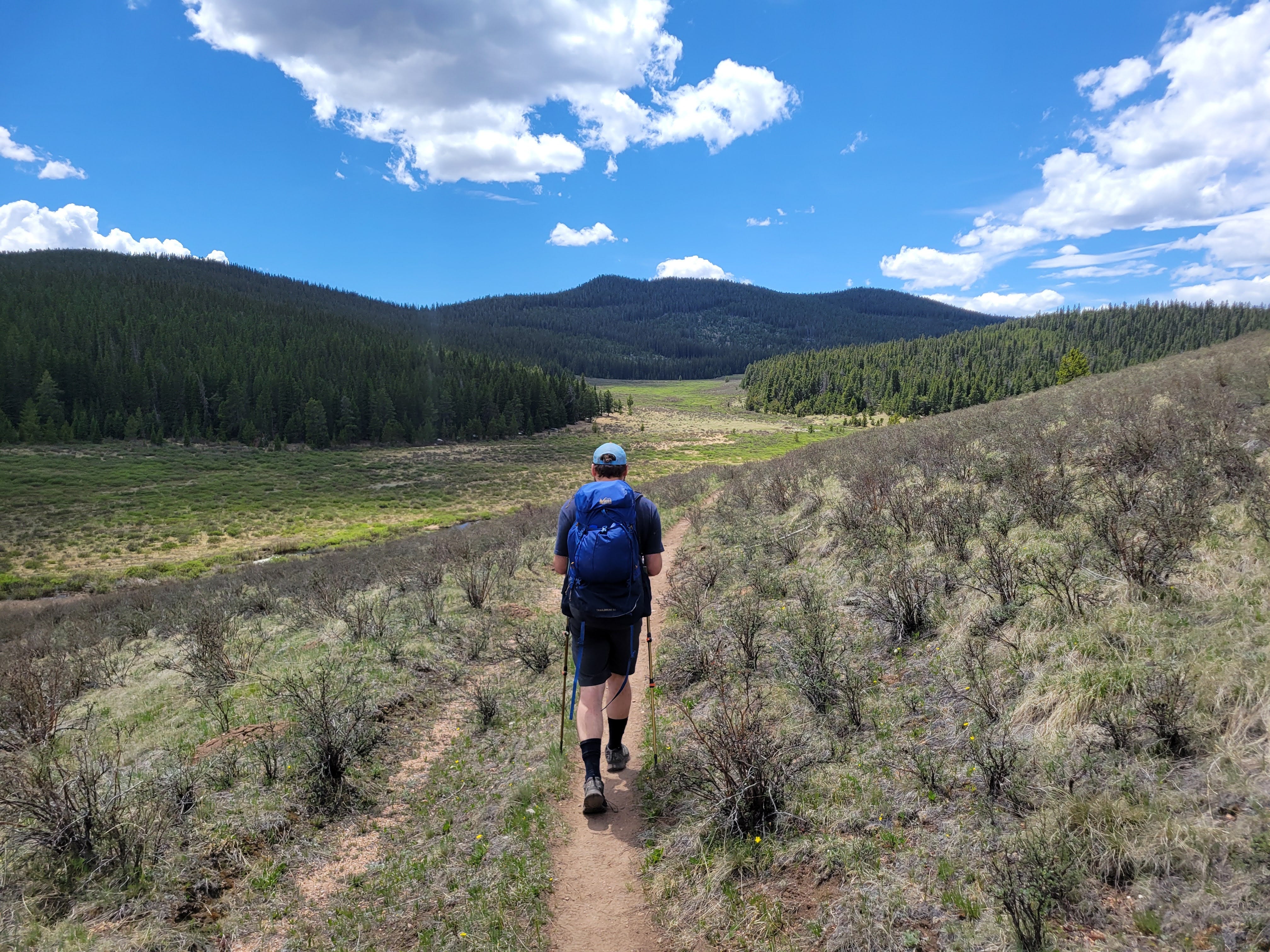
Leaving the trees of Lost Creek Wilderness we came to a huge meadow with sweeping views.
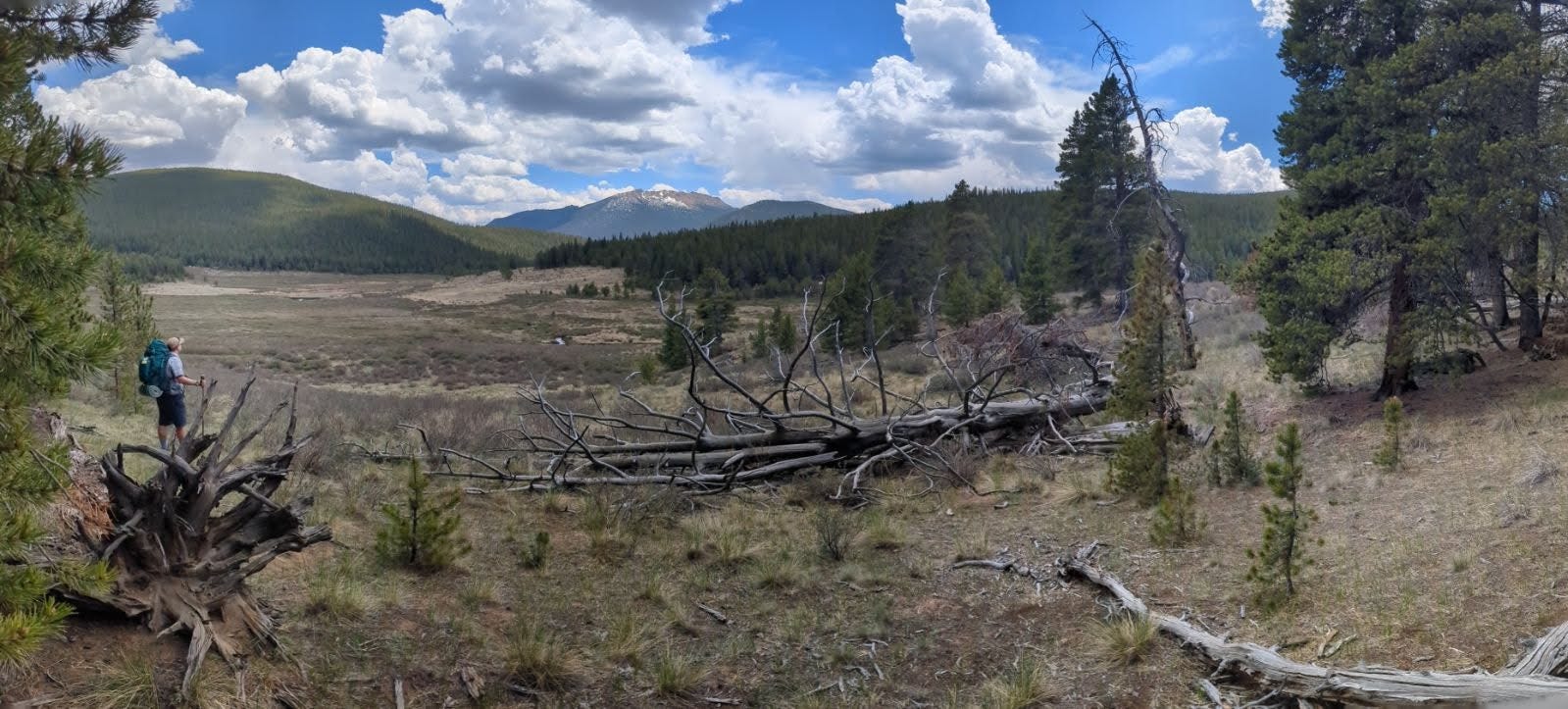
We followed this unusually straight meadow for 6 miles chasing the sun to the horizon.
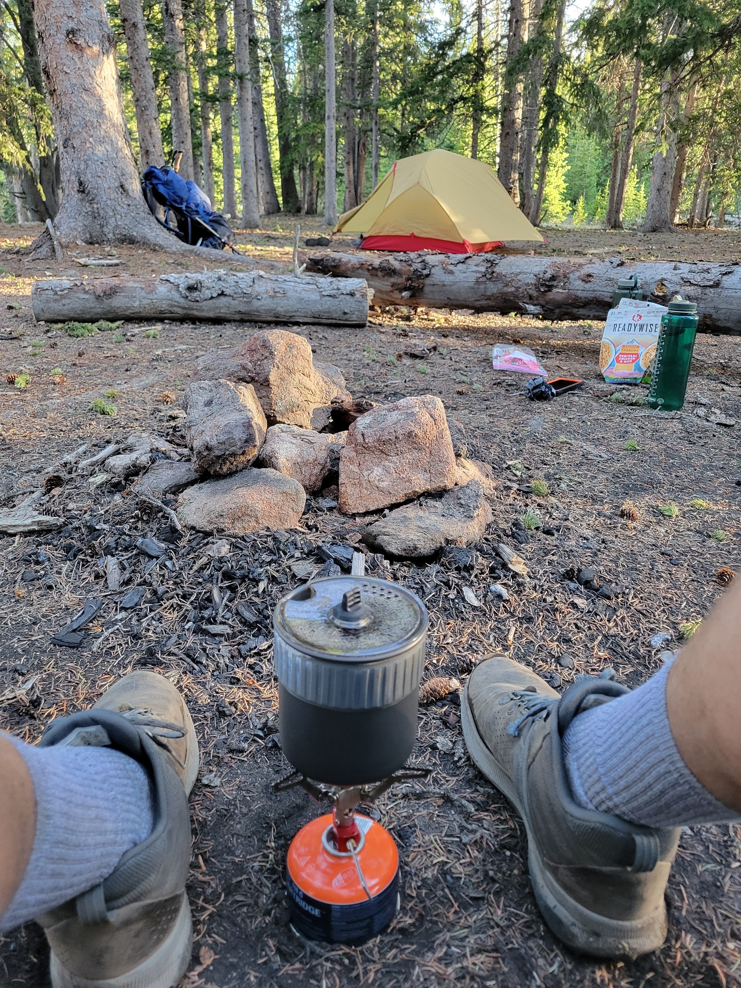
After passing on several “tent-able” options we discovered this gem of a campsite. A flat spot on soft ground back in the trees with a fire pit, log benches, and a sunset view over the meadow. Perfection.
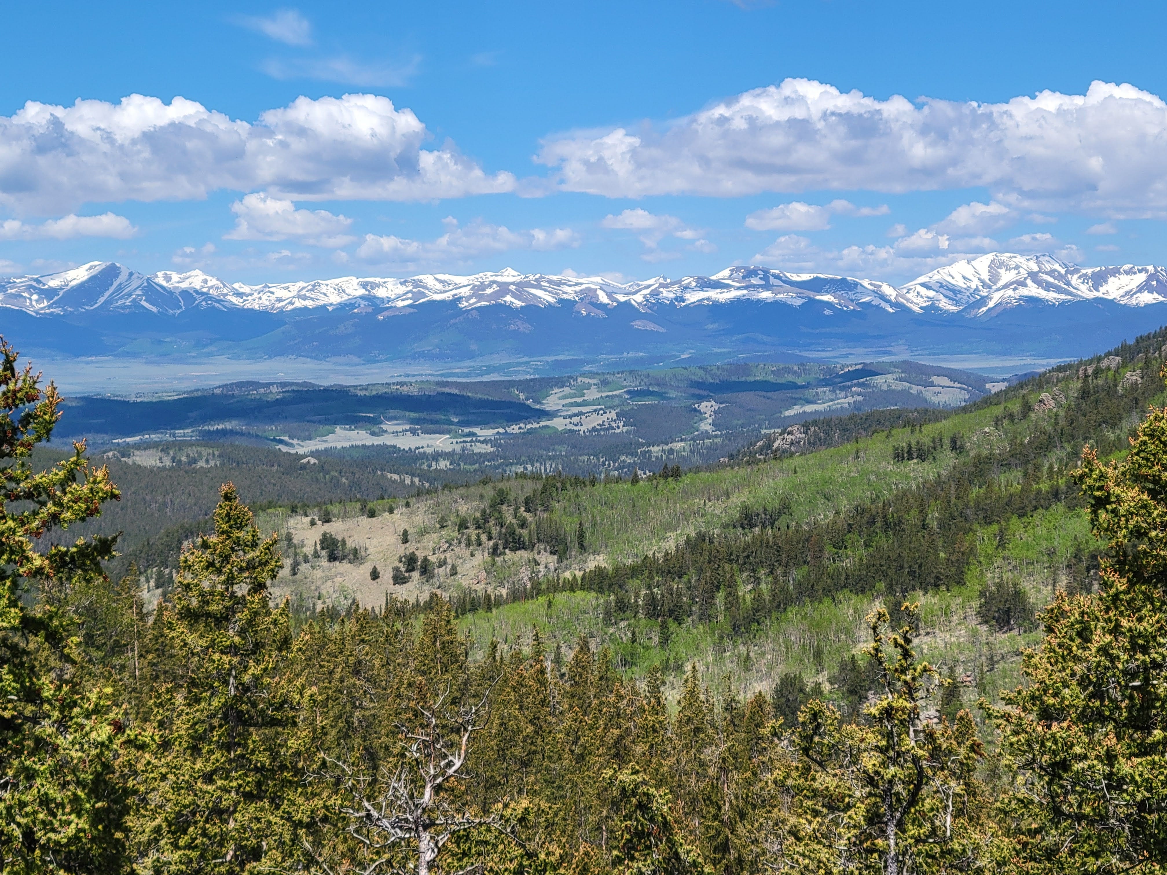
In the morning we were rewarded with an overlook towards Kenosha Pass (Segment 5) and the Ten Mile Range (Segment 6). More miles to come!
Gorgeous 😍 pictures!